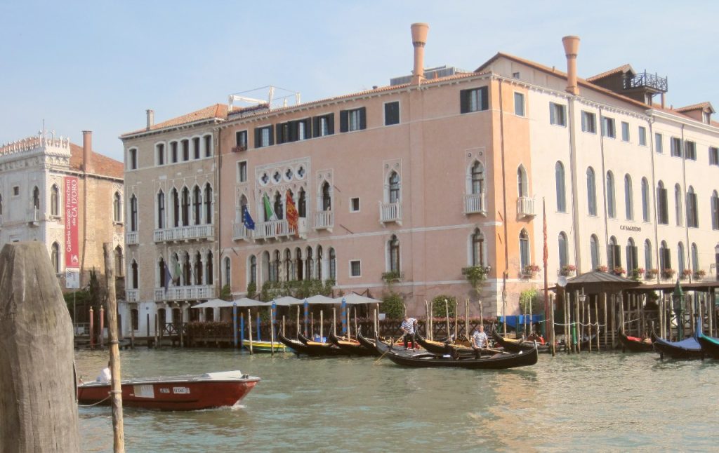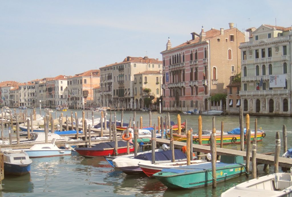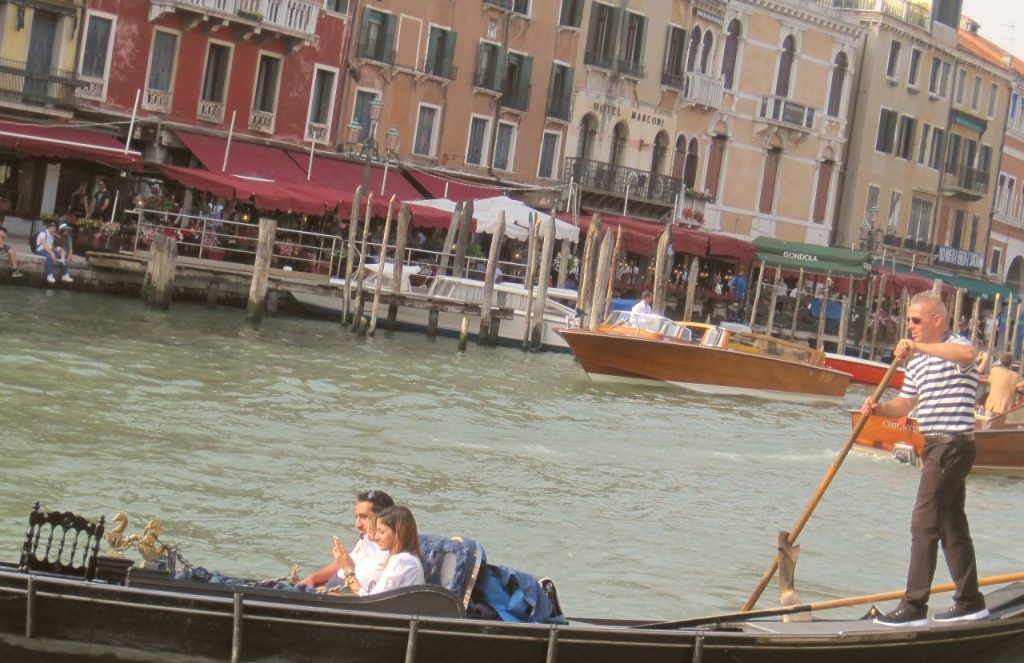
The Grand Canal is the busiest water route in Venice. It’s 2.4 miles long and 90 metres wide at its widest point. The Grand Canal banks are lined with more than 170 buildings, most of which date back to between the 13th and the 18th century. This was the location that wealthy Venetians wanted to have their family houses or Palazzos. There are many walkways along the side of the canal, but the best way to experience it is on the water. The simplest way to do this is to take the Vaporetto (Water Bus) for a ride up the canal. There are multiple stops along the way. We’ve also done it in a Gondola, which is a lot scarier and a lot more expensive!

There are plenty to look out for including Ca’ d’Oro (Palazzo Santa Sofia) which is absolutely beautiful and looks gold in colour from the gilt decoration. Near the entrance to the canal, you’ll also see Palazzo Venier dei Leoni which houses the Peggy Guggenheim Collection and the lovely Santa Maria della Salute church with its domed roof. If you want a proper guided trip on the Grand Canal, rather than the Vaporetto ride, consider The Grand Canal Boat Tour which usually gets great reviews.

LOCATION & MAP
The Grand Canal runs from the southern part of Venice island with it’s entrance near to the Santa Maria della Salute church and winds through Venice to the lagoon near Santa Lucia railway station in the north.
MORE ON THE GRAND CANAL
Hotels near the Grand Canal – Great rates from Hotels.com
The Grand Canal – Wikipedia
More Things To Do In Venice
Discount Venice Guide Books – Amazon
